[Personal] A very long walk on a cool and cloudy day.
Even during growing up, in a large city, I had tremendous ties to this valley.
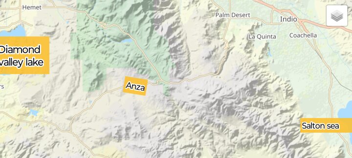
Somewhere I on here, I mentioned that my father once took me, at ten years old, on a nature hike clear across the very mountains, that you will be seeing in the distance. Clear across to the tram side, that leads to Palm springs. That by itself is a story.
Yet the incident is very much apart of how much this valley has ment to me. It's apart of why I even walk so much.
I have walked in just about every weather conditions. Fair weather, rain, snow blizzard and even once for both a tornado and hurricane. Of course in different states.
Yet this valley I have walked its very width from the hills in North to the hills in the South. Likewise from East to West and everything in between.
In high School I walked to school on crutches, ignoring the agony in my knee, as the caste on my left leg was pressing down on the pins in my knee.
Yet it all comes back to the many walks with my father. These mountains being the second set of mountains we traversed.
I most definitely have a deep connection with a large portion of this county, because of that early walk. I did live those very mountains for twelve years.
So I come back to today's very long walk, even if was a slightly shorter walk in comparison. I say shorter, because there is only a 6 mile difference from that early, all day hike.
To give more of idea how much I walk, just yesterday, I walked five miles twice, each in 45 minutes. Yes, it was a very fast walk. I had appointments to keep.
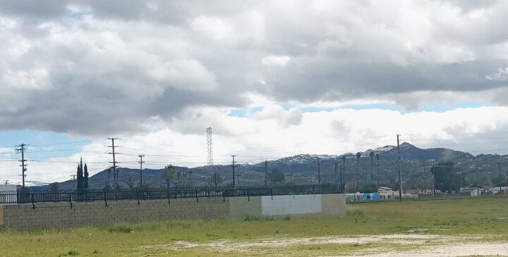
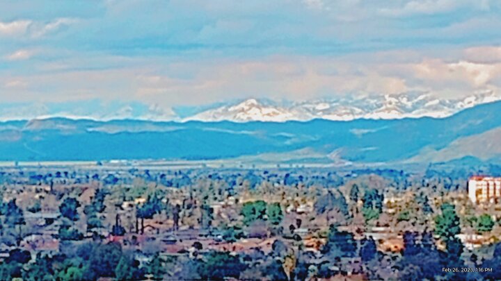
This first image was the goal image for today's more leisurely walk. Taken after the first mile. The goal is the hill just below the set of Palm trees in the distance.
Blown up.
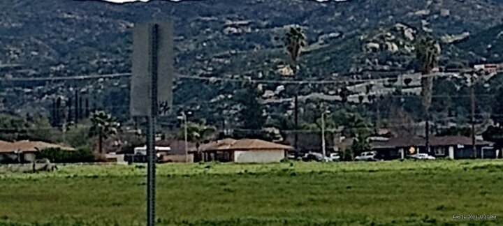
After walking another two miles, I took another goal image. Different Palm trees, yet below them and to the left....
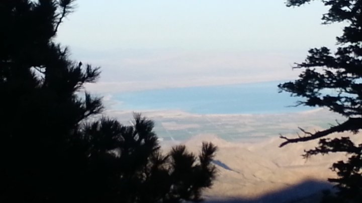
The goal was an amphitheater, that over looks the valley, somewhat visible in the above image.
Getting there is a bit of a climb, since there is a dip that really isn't shown. The dip is actually apart of a hundred year flood control area. I laugh at the extremely wealthy, that have built their mansions near that dip. 😆
No, no pictures of those mansions. Don't want to upset them further!
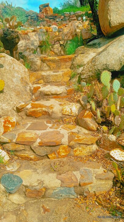
This is a nature walk of sorts.
The goal is reached. So here is the rest of the images...
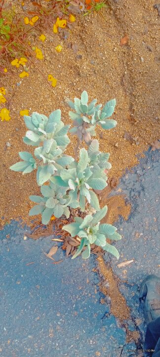
Naturally growing white sage above is everywhere in these hills.
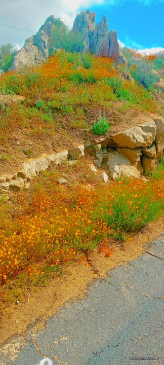
The very top of the highest rock above is where the rest of the images were taken.
Yes I climbed it today. Just as I did some 47 years ago.
Not easy doing video on the tip top of monstrous rock!
Yet move a foot in the other direction you do better! 😊
Hope you liked! 😊
This page is a permanent link to the reply below and its nested replies. See all post replies »
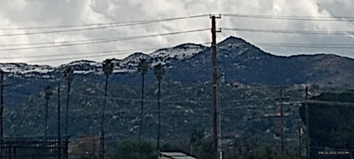
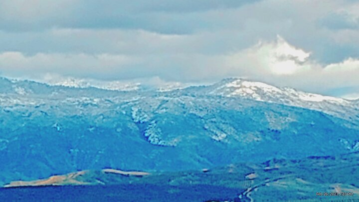
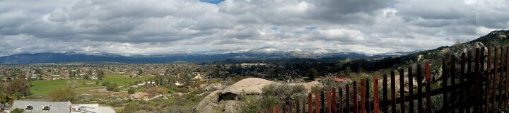
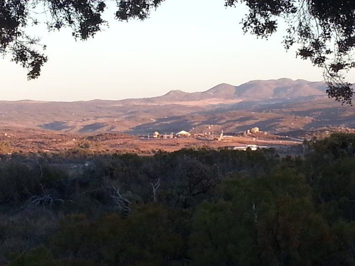
The peek in this image is just a high hill. Around 1,000 feet. I only went half way up. The city is at 1,500 feet. So a totaled it's 3,500 feet. A high hill.
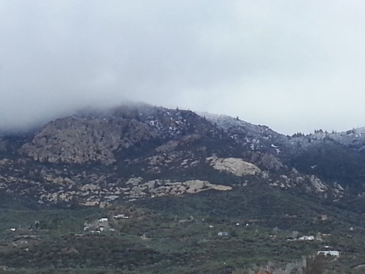
Now this is the mountain Mt San Jacinto...
The background peek is 7,000 feet.
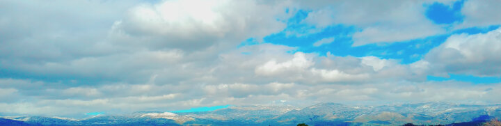
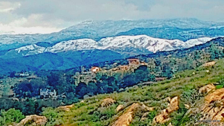
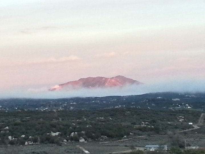
Now this is mountain Wilson way way in the background...At around 10,000 feet.
Missing is Big Bear mountain, 11,000 feet and San Gorgonio at 10,500.