Sunday 7th September 2025, 08:59
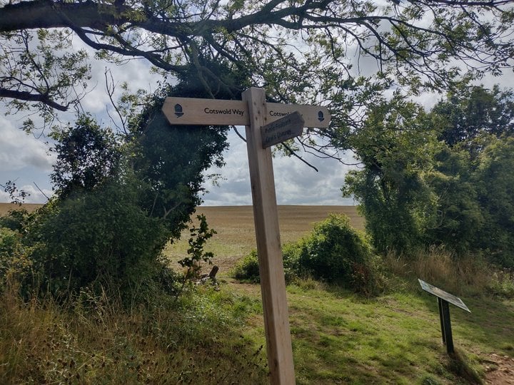
After taking the cloud picture I headed for the top of the hill. When I came to the turning I saw a sign saying that this was part of the Cotswold Way.
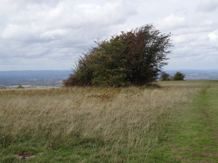
I turned left towards the top of the hill which is an open grassy space. It's only just dawned on me what is odd about it. The grass was short yet there are no sheep. The hill forts that I am most familiar with either have sheep and short grass like Uffington or are pretty much wild and unkempt like Liddington.
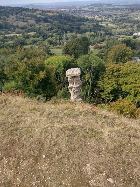
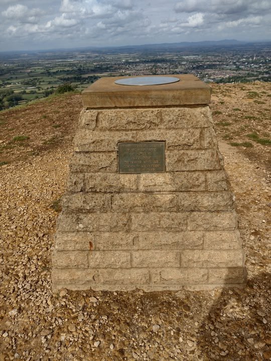
Here's the view from the top
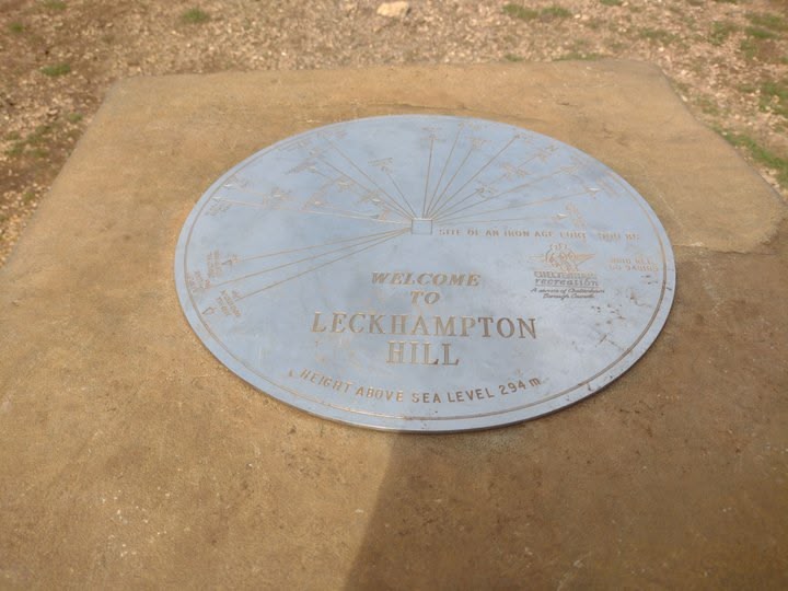
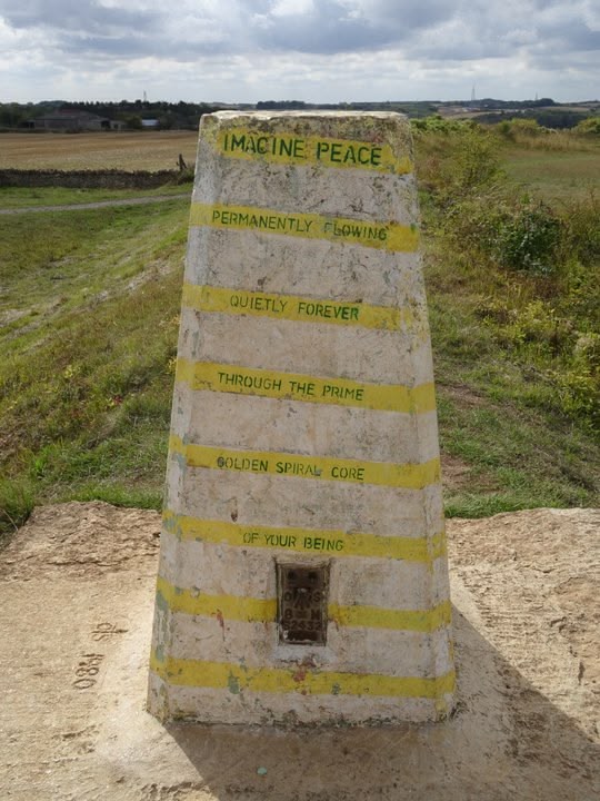
And a topograph in memory of someone called Roger Nixon
My digs in Pittville are at roughly 60 m above sea level, Cheltenham generally a few metres lower so I've climbed about 240 m.
When I got to the topograph I took some selfies but I've already posted a couple of those.
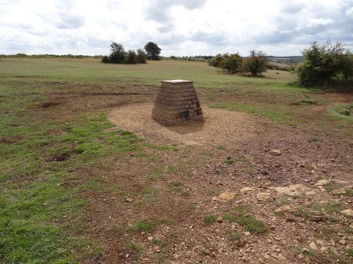
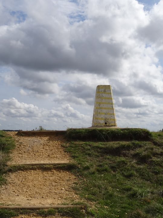
Here's a view of the top of the hill including the topograph.
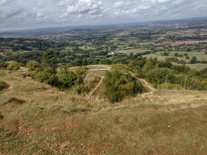
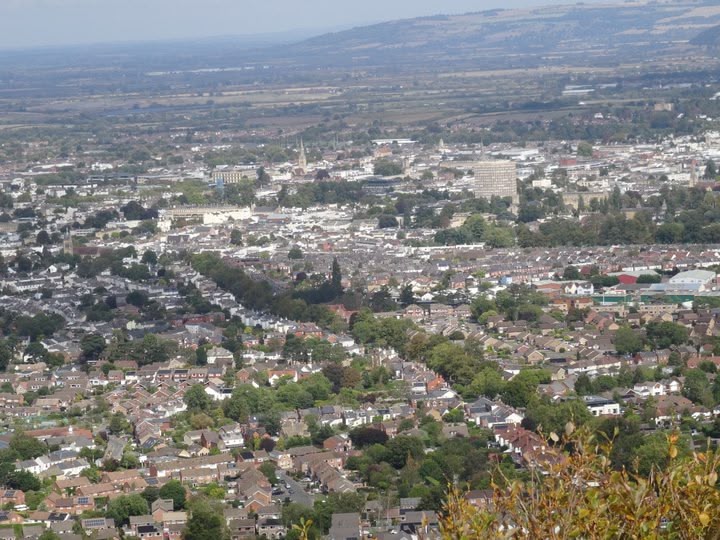
And from about the same spot but looking in the opposite direction a view of Cheltenham
And at the actual highest point of the hill is the official Ordnance Survey topographical survey marker, now disused in these days of GPS
The wind is pretty constant and affects the growth of the vegetation


 · Reply · Translate · 3 days ago3 d