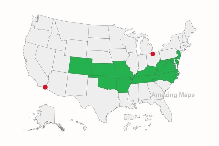
Interesting map
This page is a permanent link to the reply below and its nested replies. See all post replies »
redredred · M
Alaska is the Westernmost, northernmost and actually the easternmost US state. Since a few of the Aleutian Islands cross the international dateline they are east of the rest of the US. Hawaii is the southernmost state.


