West Coast Fires - CalTopo Map
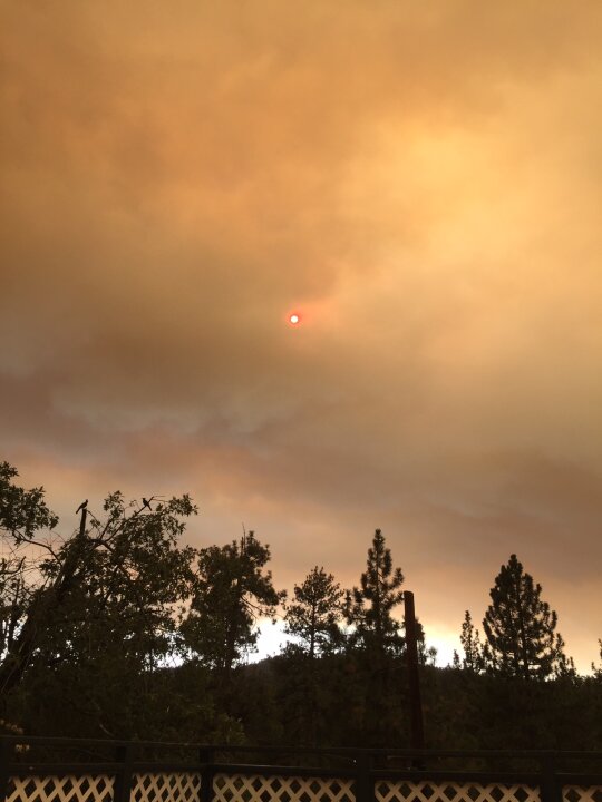
If anyone's interested in keeping an eye on the current fire situations.
CalTopo is a really solid backcountry topo map with a lot of features. One of them is showing current burns via satellites. You can scroll in or out to see specifics. "Red" is active. "Yellow" has burned.
Offers a pretty good look at just how much is going on in the West. And if you're around fire, this is a good one to bookmark. (Peaks, not towns, are listed)
Just be aware that some of the spot fires are listed due to heat and not fire. But overall, pretty accurate. You can also tick "fire history" to see what's burned recently. Gives you a good idea of potential fuel.
https://caltopo.com/map.html?fbclid=IwAR1jBQpjHLi_hFYhlj8Vt7TTuCduAlU5pqigX2MBSPoYbmErEUDvFdpJ7kE#ll=37.562,-116.98242&z=6&b=mbt&a=cf40%2Cmba%2Cmodis_vp